
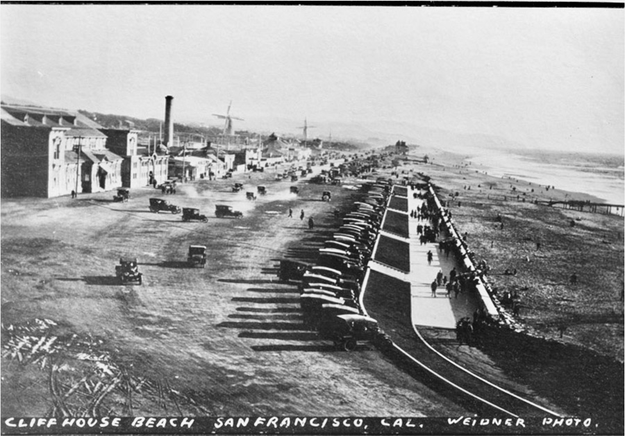
Below: Between the time the east side of the Great Highway had the block of buildings seen in the “then” photo and the condos that are there now, there was Playland at the Beach, a 10-acre seaside amusement park with rides and other attractions, from the late 1920s to the early 1970s. Photo by Michael Durand.

Categories: Then and Now


